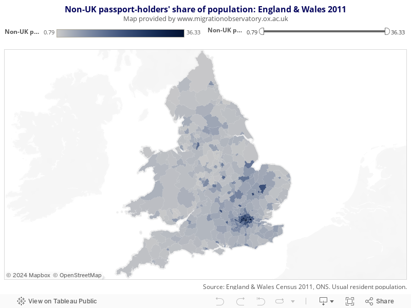
This map shows the percentage that residents with only non-UK passports make up of the total usual resident population in each local area within England and Wales, based on the 2011 Census results.
In the census collection process, priority was given to UK and then Irish passports. As such, residents with both a UK passport and another passport are included in the UK passport category.
Lighter shades of blue denote areas with lower shares of residents with only a non-UK passport, whereas the darker shades highlight local authorities with higher percentages of residents with only non-UK passports within their population
Hovering over or clicking on a local area will show the number as well as percentage of non-UK passport holders in 2011. The map can also be zoomed in by using the menu in the top left corner, and filtered by the slider in the top right corner in order to only show areas within a certain percentage range.
Shows the percentage that residents with only non-UK passports make up of the total usual resident population in local areas of England and Wales.